


THE Victorian Government's Coordinated Imagery Program which ARV joined late last year is paying dividends with the recent delivery of eye-catching new high-resolution aerial images of Mt Baw Baw from February 2024.
ARV’s Geographic Information System (GIS) Coordinator, Ryan Miles, said the images now available from the partnership provide valuable visual information for use in mapping for project outlines such as a new car park, road or trail.
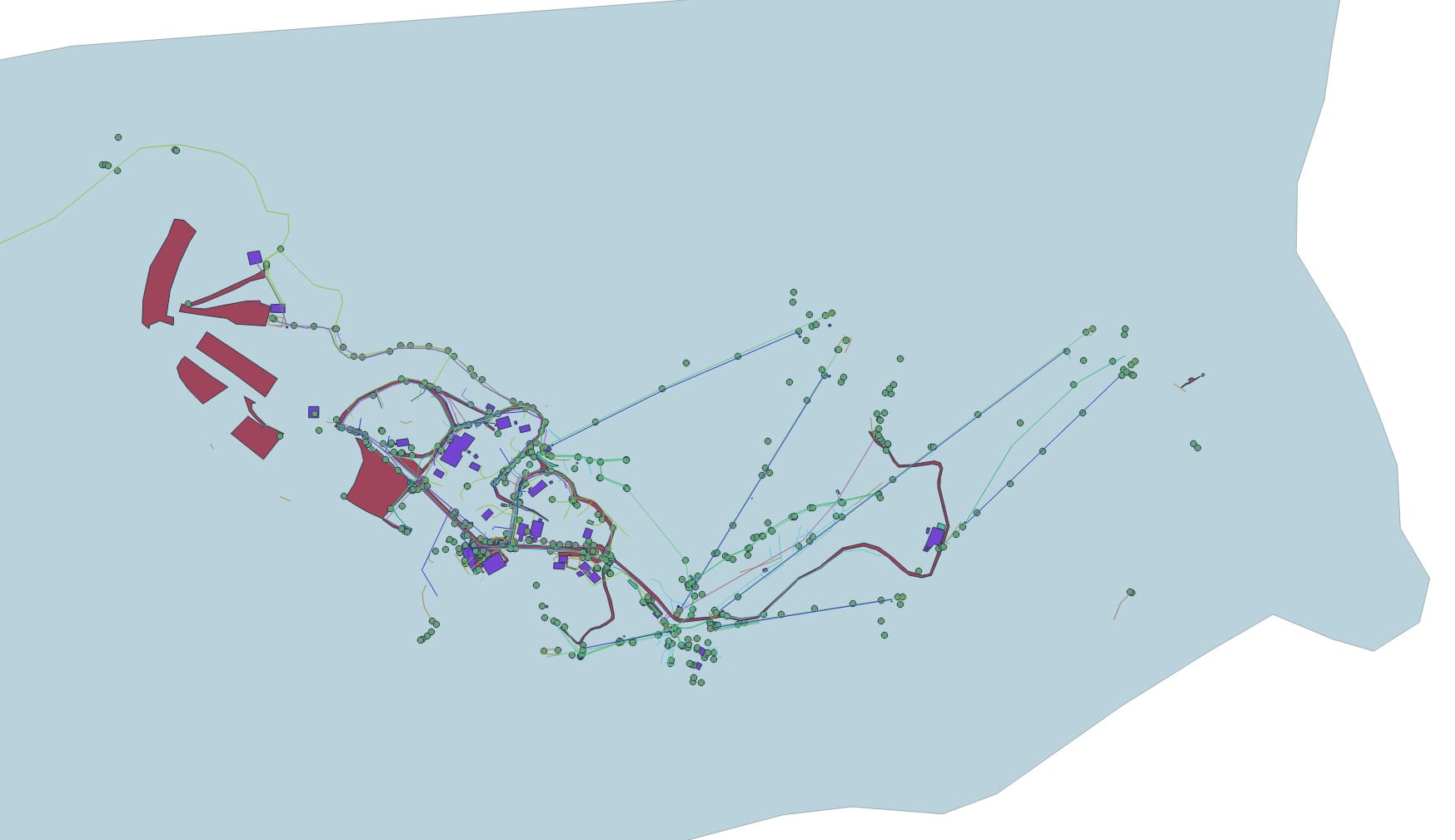
“A building gets drawn as a polygon (square) and the aerial imagery goes underneath it to give context," he said.
"We can use it to judge the extent of vegetation including trees, shrubs and grass."
These images of Baw Baw show how the new aerial imagery is put to practical use.


